
Barker Dam is a water-storage reservoir constructed by ranchers in the early 1900's. It is situated between Queen Valley, and the Wonderland of Rocks, west of the Wall Street Mill. It is a watering place for desert wildlife, including many species of birds, and desert bighorn sheep.
I found the photo below of the dam from an earlier time. It didn't look like that when we were there. Drought has definitely taken it's toll.

This is what we saw.


Once we returned to the parking lot we decided to hike the Wall Street Mill Trail with the trailhead nearby.
Joshua Tree is full of mines from a century of settlers looking to get rich. Wall Street Mill is just one of the many in the park. This gold ore crushing mill was one of the last remaining mills in the park, with operations up until the mid 1900’s.


There were even a couple of old cars and trucks on the property.


Total miles for both trails that day was around 4 miles. We even came across a group of school kids doing some rock climbing. It looked like a school sponsored activity.

That was a fun day and we got some great exercise with fantastic views.


The weekend before when we were in San Diego and L.A. we had hoped to visit my cousin Bob however they weren't available and Bob had not been feeling too well. We decided to contact him later in the week and found that he and his wife, Susan, would be available the next weekend and Bob was feeling much better. We decided to rent a car again which actually would be cheaper than fuel for the truck and trying to drive the truck in a crowded beach town wouldn't be a wise idea. So we made the drive and had a fantastic visit with dinner at their favorite Italian restaurant before we headed back home. It was important to see Cousin Bob since the last time we had a chance to visit, it was over 30 years ago. Bob's first wife passed away from cancer and he had since remarried. We had never had the pleasure of meeting Susan. She is a lovely person and it seems quite an artist.

We talked and talked and the time flew by. We were all getting hunger and we didn't want to eat too late since we had a 2 1/2 hour drive back Twenty nine Palms. They suggested an Italian restaurant called Alessa's. Great food and nice quiet atmosphere.


After more catching up and photo taking we headed out for some Gelato and then the drive home.


Glenda and I will probably be coming back out west next spring/summer and plan to make seeing Cousin Bob and Susan on our way.
Ok, we've been keeping an eye on the weather and noted that in the mountains it had been pretty cool during the day and down right cold at night. We checked the Weather Channel App and saw that the middle of the week would be the best time to try and kayak on Big Bear Lake near Big Bear City.
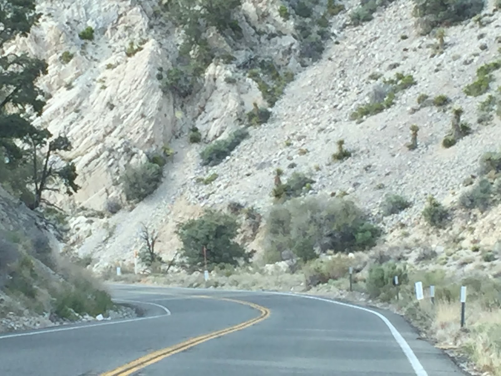
We loaded up and drove to the mountains. The drive was quite interesting with narrow roads and steep hairpin curves.


We found a marina to put the kayak in however we found out youhave to have a permit to be on the water. We had to pay $20 for a one day us permit. It was well worth it. The views from the water are spectacular and we got some great exercise and a change of scenery from the desert.


. 

There were beautiful homes along the shore. So glad we made the trip to this area.
Along with our adventure to the mountains we also made a trip to the Salton Sea. Here's some history of the area.
The Salton Sea region was part of the Gulf of California until about 4.4 million years ago. The Colorado River silt eventually blocked off the gulf and separated the region from the Pacific Ocean. Over the centuries at least 5 lakes occupied the basin where the current Salton Sea lies. The Salton Sea was created between 1905 and 1907 when the Colorado River broke through diversion canals in the irrigation system in Imperial County. In 1905, a diversion was engineered in the Colorado river, in Baja California, Mexico, a few miles South of Yuma, Arizona, for the purpose of conveying water to irrigate lands in the Imperial valley, in Imperial County, California, located to the Northwest. An unexpected flood caused the diversion to fail, and the Colorado river changed course, first flowing West and then North in the direction of the Salton depression. By the time the river was brought under control, in 1907, the water had filled the depression to the level of -195 ft, effectively creating the Salton Sea.
Left on its own, the water in the sea would have eventually evaporated. This is because the region's mean annual precipitation is only about 2.3 inches, while the mean annual evaporation is 70.8 inches. By the early 1920's, the sea had reached a record low of -250 ft. However, in 1928, Congress acted to designate the lands within the Salton basin below -220 ft as storage for wastes and seepage water from irrigated lands in Imperial valley. Since then, the sea has been used mainly as a repository for agricultural wastewaters, with the water level rising gradually to its present -227 ft. The average depth of the sea is about 30 ft, and the maximum is 51 ft.
We were told by the volunteer at the Visitor's Center that most of the species of fish in the Salton Sea have been replaced by Tilapia. They have taken over the whole sea and number up to over 400 million. We saw and SMELLED dead Tilapia along the shore near the visitor's center.
It wasn't pleasant and let a bad memory of the area. We did see numerous date farms and the area is abundant in agriculture. The valley is very green compared to the surrounding rock mountains.

Looks beautiful from a distance doesn't it?
Not up close. Enlarge the photo to see the fish


We did see a couple of birds along the shore. This area is famous for the variety of birds.


Glad we made the effort to go and see while in the area however not a place we plan to return to in the future.
Our last hike in Joshua Tree NP was at the Split Rock Trail with a side trail to a rock called Face Rock. You can see why in the photos.
The trail starts at the parking area for a picnic area. It's a 2 mile loop with a tenth of a mile side trail to Face Rock. The landscape is similar to the other trails we had hiked in Joshua Tree but we never get tired of the rock formations and wildlife. At times it is possible to see desert sheep but not on our hike. We hiked about 1/2 a mile and came to the side trail to Face Rock. WE hiked a little further and came around a corner and saw it.

This is why we love hiking. The diversity of landscape and the way mother nature molds and sculpts the rocks. To me this was better than the Skull Rock we saw when we did our first hike in Joshua Tree.

We turned back to the main trail and continued to follow it around the back side and then back to the parking area. Along the way we saw this fairly large lizard who just hung onto the rock along side the trail and let me get a nice close up photo.


Glenda likes using her poles while hiking and posed for some rock skiing

The above photo is of Split Rock, the name sake of the trail.
The next day we started our preparations for moving to our next destination in NEVADA. This is a new state for us. We're gradually adding to our list of state we have stayed in. (with the RV) The trip was smooth and we landed at Nevada Treasures RV Resort in Pahrump, NV. We'll be here for a month with a little airplane trip back to IL, IN to see family and see our granddaughter graduate high school. As I've already mentioned she will be coming back with us to travel UT and see Zion and Bryce Canyon NP. More to come on our activity here in NV.


We got a great site on the end of a row with a cabana and propane grill for our use. Nice privacy, paved, level and room to park the truck. Well places to go and things to see. Until next time.
Sure wouldn't want to be the volunteer at the Salton Sea. No place yet to get the canoe wet but hopefully somewhere we will, thinking about getting a motor for it...we could pull you and Glenda around then. Great pictures from your hikes, isn't it amazing the old things found while out hiking.
ReplyDeleteThe volunteer there wasn't very busy. Not too many people this time of year. Don't plan on taking the kayak there. A motor sounds nice and a tow wouldn't be that bad either. :-) Still having fun.
DeleteWhat fun you're both having! The park looks very nice. Great discoveries and hikes! Looking forward to seeing you two next month!
ReplyDeleteYes, we're still having fun. :-) It is a nice park but not much to do here unless you go to the pool, drive an hour to Death Valley or go to a casino. Nice place to stop for a while though. I know we'll have a good time next month. :-)
ReplyDelete